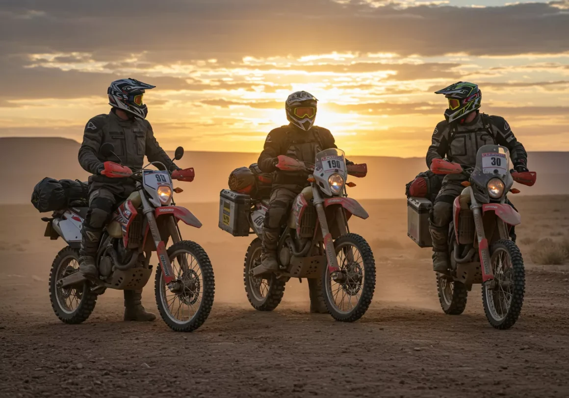
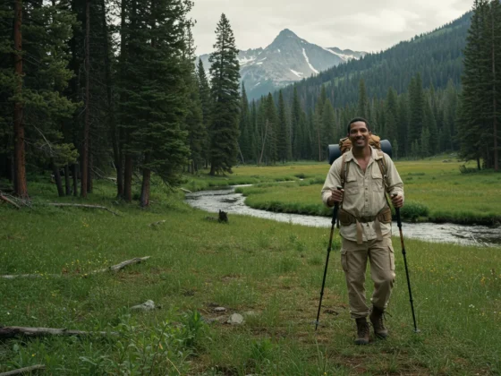
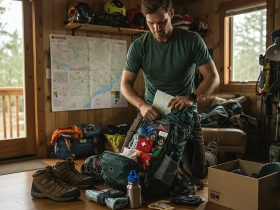
Alright folks, let’s talk dirt, rocks, and not ending up on a milk carton. You’ve got your rig prepped, tires aired down (or maybe not yet, we can cover that another time), and the itch for adventure is real. But charging off into the backcountry without a solid plan is like trying to bake a cake blindfolded – messy, unpredictable, and you’ll probably just end up with a lumpy disaster.
Mapping your course and keeping a sharp eye on where you are isn’t just about finding the cool viewpoints; it’s fundamental to safety and making sure you actually get back to your starting point. Trust me, even a familiar trail can look mighty different when the weather rolls in or the sun starts dipping below the horizon.
Think of navigation as your off-road superpower. It turns a random drive into a purposeful exploration.
Why Bother Mapping? Isn’t That What GPS is For?
Hold your horses! GPS is a fantastic tool, a game-changer even, but it’s only part of the picture. Relying solely on one piece of tech is like only packing one can of beans for a week-long trip – a recipe for disappointment.
Mapping your course before you even turn the key gives you:
- A Clear Plan: You know your route, potential obstacles, planned stops, and estimated timing. This helps manage expectations and prevents aimless wandering (which, while fun sometimes, isn’t great when you’re low on fuel).
- Situational Awareness: By reviewing maps (digital or paper) beforehand, you get a feel for the terrain you’ll be covering. Are there steep climbs? River crossings? Tight turns? This helps you anticipate challenges and choose the right lines.
- Backup Plan: What happens when the GPS signal drops? Or the battery dies? A physical map and compass don’t run out of juice. Knowing how to use them is non-negotiable for serious off-roaders.
- Communication: If you’re traveling with others or leaving a trip plan (which you should be doing!), having a mapped route makes communication clear and concise.
The Navigator’s Toolkit: More Than Just a Screen
Okay, let’s talk gear. You need a few key items in your navigation arsenal:
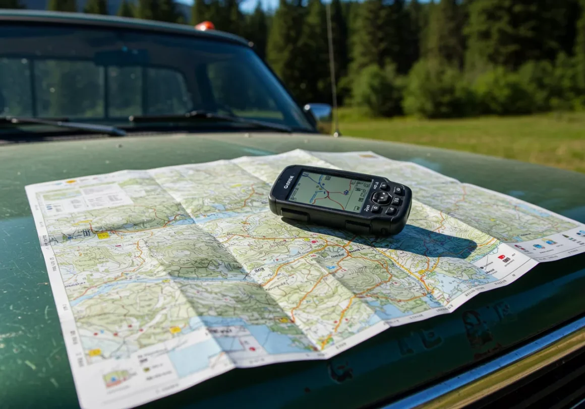
- The Old Faithful Duo: Map and Compass
- Yeah, I know, sounds ancient. But a good topographical map of the area is your absolute foundation. It shows elevation changes, water sources, trails, and landmarks. Get one that’s waterproof or keep it in a waterproof case.
- A reliable baseplate compass. Not the cheap button kind. Learn how to orient your map with the compass and, critically, understand magnetic declination. That’s the difference between true north and magnetic north, and it varies depending on where you are. Ignoring it means your “north” could be off by a significant amount over distance. It’s easy to find the declination for your area online or often printed on topo maps. Just remember to adjust your compass bearings accordingly.
- The Modern Marvels: GPS Devices
- Handheld GPS: These are purpose-built, rugged, and often have excellent battery life. They are great for hiking or as a backup in the rig. Look for units that allow you to download detailed topo or satellite maps.
- Vehicle-Mounted GPS: Many newer rigs have integrated GPS, or you can get aftermarket units. These are convenient but can sometimes lack the detailed off-road mapping you need.
- Key Feature Check: Whichever GPS you use, make sure it can save waypoints, record tracks, and allows you to load custom maps. The ability to see your track is huge – if you need to backtrack, you can follow your electronic breadcrumbs.
- The Smart Sidekick: Smartphone Apps
- Apps like Gaia GPS, OnX Offroad, or AllTrails can be incredibly powerful. They offer layers for satellite imagery, topo maps, private land boundaries, and user-submitted trail data.
- The Caveat: They rely on your phone’s battery and signal (though many allow for offline map downloads – do this before you leave!). Always have a way to keep your phone charged, like a robust power bank or your vehicle’s charging system. Don’t let your lifeline die!
- The Most Important Tool: Your Brain and Your Eyes
- Seriously. Pay attention to your surroundings. Look for prominent peaks, unique rock formations, the direction of drainages. Compare what you see to your map. This builds “trail sense” and helps you recognize if you’ve taken a wrong turn before you’re miles down the wrong path.
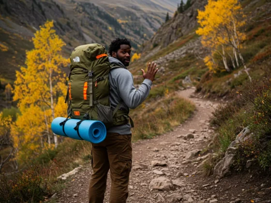
Planning the Adventure: Beyond Just Point A to Point B
Mapping your course isn’t just tracing a line on a screen. It involves research and thoughtful consideration:
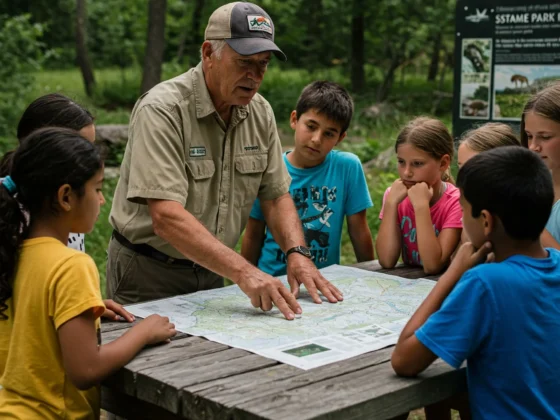
- Gathering Intel: Hit the internet, check out dedicated off-road forums or apps, talk to people who have run the trail before, and study those topo maps. Look for recent trail conditions – washouts, closures, snow reports.
- Know Your Limits (and Your Rig’s): Be honest about your driving experience and your vehicle’s capabilities. Don’t plan a hardcore rock-crawling route for your stock SUV with highway tires. There are plenty of incredible trails for every skill level.
- Time and Distance are Deceiving: Off-road travel is slow. That 20-mile stretch that looks quick on the map might take half a day or more depending on the terrain. Factor in stops for photos, lunch, or just soaking in the views. Overestimating your speed is a common mistake.
- Escape Routes and Bailouts: Identify points where you could exit the trail if needed, or alternative routes if the main path is impassable.
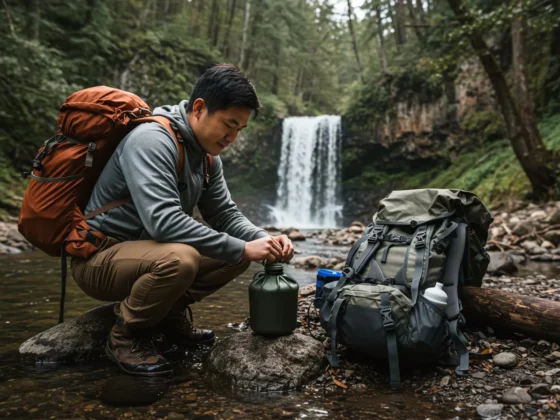
- Marking Waypoints: Use your GPS or mark your map with key locations: the trailhead, tricky obstacles, potential campsites, water sources (if you plan to filter), or scenic overlooks.
On the Trail: Staying Found
So you’re out there, tires on the dirt. How do you make sure you stay on track?
- Check In Regularly: Every so often, glance at your GPS or map. Confirm landmarks you pass. Don’t just follow a line blindly.
- Follow Your Track: If using a GPS or app, keep an eye on the recorded track of where you’ve been. If you suddenly veer off your planned route line, you’ll see it instantly.
- Terrain Association: Constantly compare the terrain you’re seeing to the contour lines and features on your map. “Okay, that peak should be off to our left now, and we should be dropping into a valley.”
- Listen to Your Gut: If something feels off, stop and check. Don’t press on hoping it will correct itself.
Safety Intersects with Navigation
Being good at navigation is a massive safety booster. Here’s how:
- Leave a Trip Plan: Tell someone reliable exactly where you are going, your planned route, who is with you, and when you expect to be back. If you don’t check in, they know where to start looking. Be specific – provide coordinates if possible.
- Communication is Key (Beyond Cell Service): Once you’re out of cell range, how will you call for help in an emergency? This is where satellite communicators (like Garmin inReach or SPOT) are invaluable. They allow you to send texts or, crucially, an SOS signal even in the most remote locations. A good VHF or GMRS radio is also essential for communicating with others in your group.
- Weather Watch: Always check the weather forecast before you go and be aware of changing conditions while you’re out. Rain can turn a fun trail into a muddy, impassable mess, and snow can hide obstacles and make navigation incredibly difficult.
- If You Get Lost: The classic advice holds true: Stay calm. Stay put if necessary, especially if it’s getting dark or the weather is bad. Use your map and compass (or GPS, if it’s working) to try and determine your last known position. Signal for help if you have the means. Remember your training (or take some!).
Gear Spotlight (Function First!)
We talked tools, but let’s touch on the gear that makes it happen:
- Rugged GPS Unit: Look for one with a long battery life (or uses easily replaceable batteries), a good screen visible in sunlight, and water resistance. Something like a Garmin Montana or similar is built for the abuse of the trail.
- Satellite Communicator: This isn’t cheap, but neither is a search and rescue operation. The ability to send an SOS is worth the investment for serious backcountry travel. Plus, being able to send “Checking in, all good!” messages keeps folks back home from worrying.
- Quality Map Case: A simple, clear, waterproof map case keeps your paper maps from disintegrating in rain or getting torn.
- Power Solutions: Extra batteries for your GPS and compass (yep, some compasses have lights!), a high-capacity power bank for your phone, and a reliable charging setup in your vehicle are critical.
Wrapping It Up
Mapping your course and mastering navigation in off-roading isn’t about taking the fun out of exploration; it’s about ensuring you can explore safely and responsibly. It adds a layer of confidence and capability to your adventures. So, next time you’re planning a trip, take the time to study the maps, load up your GPS, tell someone where you’re going, and pack those essential tools.
The wilderness is out there, waiting to be explored. Be prepared, be safe, and happy trails!